
Borehole Development
Borehole Siting & Geohydrological Surveys
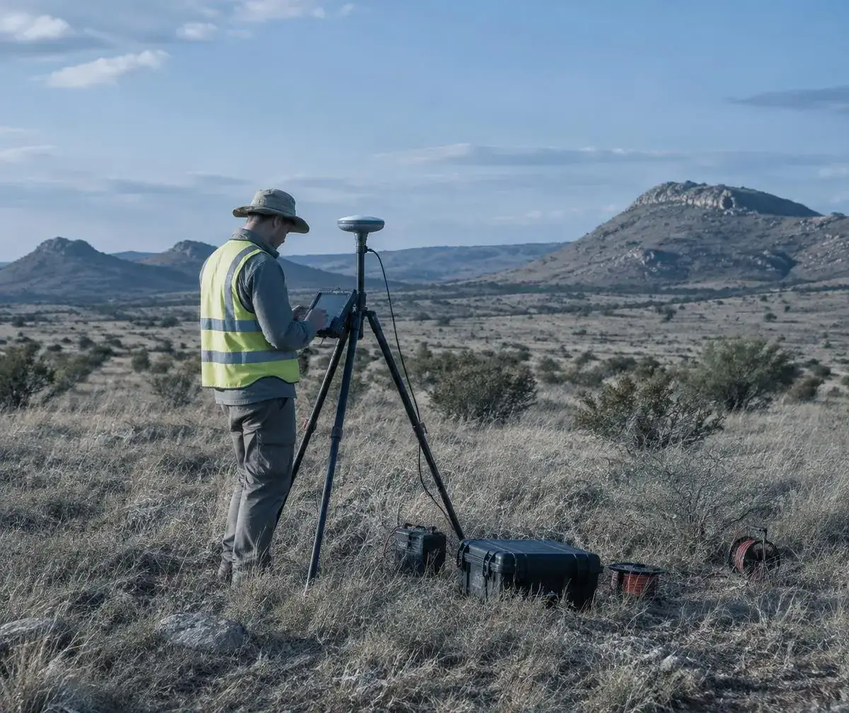
A good borehole starts in the right place. CWE combines desktop study and field survey to choose a drilling point with the best evidence for water.
- Desktop and field study
- Geophysical survey
- Dolomite risk awareness
Method
Choosing a borehole drilling point
Groundwater moves through fractures, faults and contact zones that are invisible from the surface. A siting survey looks for those structures before money is spent on drilling.
The desktop study reviews geological maps, existing borehole data and aerial imagery; the field survey tests promising targets on the ground.
Process
How a siting survey works
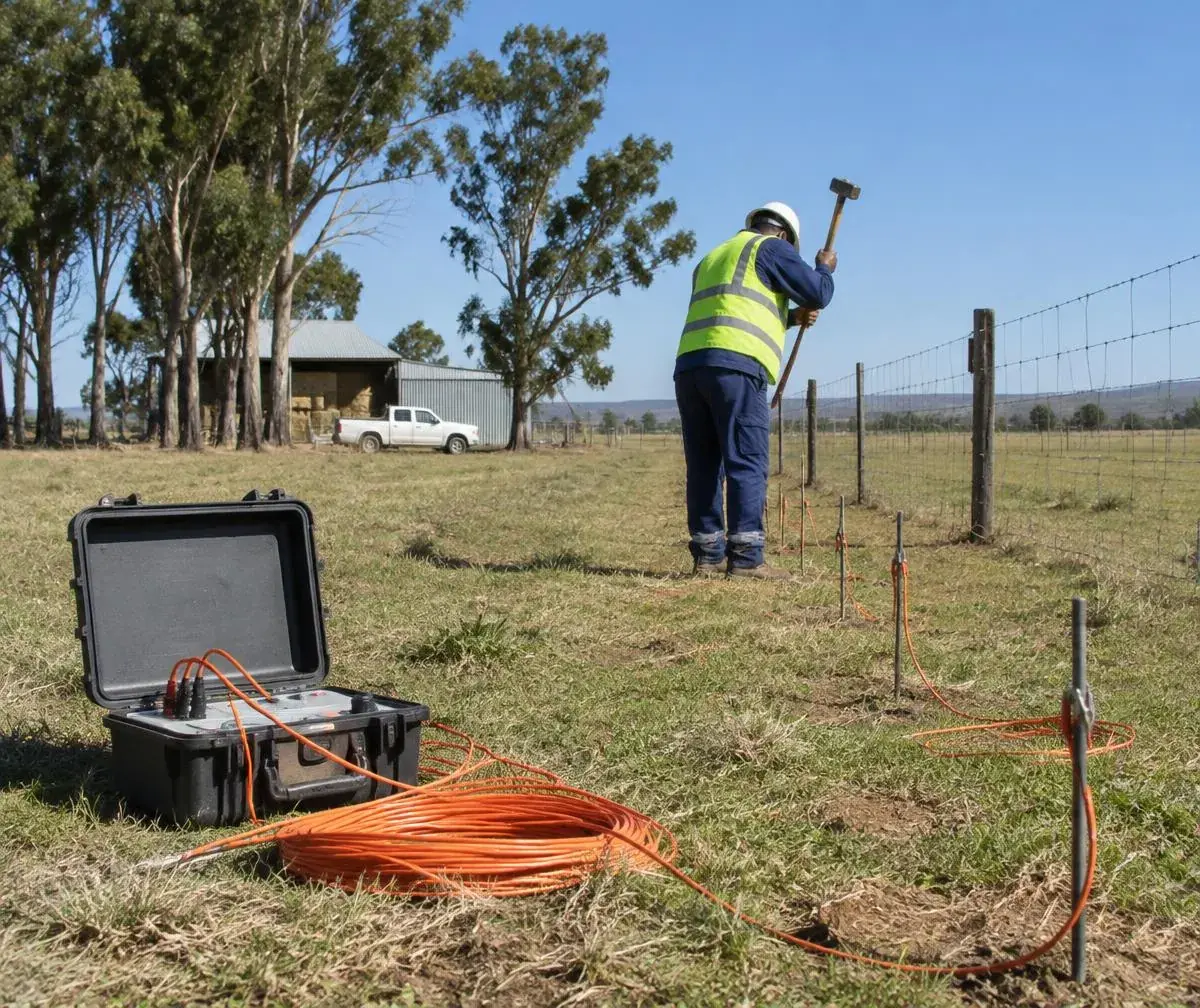
Four steps from map to marked drilling point.
- 01
Desktop study
Geology, existing boreholes and imagery reviewed to find targets.
- 02
Field survey
Geophysical methods test targets on site.
- 03
Point selection
Drilling points ranked and marked, considering access and setbacks.
- 04
Siting report
Recommended points, expected depth range and drilling notes.
Dolomite areas
Borehole drilling in dolomite areas
Parts of Gauteng and North West sit on dolomite, where drilling and abstraction can contribute to sinkhole risk. These sites need additional investigation and appropriate approvals before drilling.
Water use authorisation for the borehole can be handled alongside the survey and drilling.
Water licensing & complianceConsidered on every site
- Dolomite and sinkhole risk zones
- Setbacks from septic tanks, sewers and boundaries
- Access for the drilling rig
- Proximity to existing boreholes
- Intended water use and demand
Borehole siting questions
What clients ask before a survey.
Do I really need a siting survey?
It is not compulsory, but it reduces the risk of a dry or low-yielding borehole and usually costs far less than a failed hole.
What methods do you use?
Typically a desktop study combined with geophysical methods such as resistivity or magnetic surveys, chosen to suit the geology.
My property is on dolomite. Can I still drill?
Possibly, but dolomite areas need additional investigation and the relevant approvals before drilling. CWE will advise on what applies.
How many points do you mark?
Usually a primary point and one or more alternatives, ranked by evidence and practicality.
Related services
Borehole Drilling & Development
Full borehole development from siting to equipping.
Read moreBorehole Yield Testing
Confirm a sustainable yield once drilled.
Read moreBorehole Water Treatment
Treat borehole water to drinking quality.
Read moreSolar Water Pumping & Solar Integration
Solar pumping sized to the borehole.
Read moreRequest a siting survey
Share your site location, property size and what you need the water for.
010 730 0051enquiries@civicwater.co.za- HEAD OFFICE
- 2 Bream Rd, Wadeville, Germiston, 1428